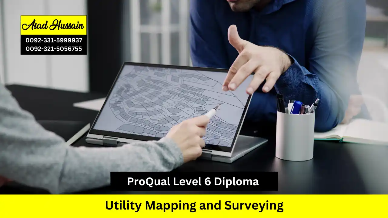
The ProQual Level 6 Diploma in Utility Mapping and Surveying represents a pinnacle of professional certification in this specialised field. Achieving this diploma formally recognises an individual’s expert-level competency in leading utility mapping projects, interpreting subsurface data with authority, and implementing strategies that protect vital infrastructure and ensure public safety. It is the definitive credential for senior surveyors, project managers, and technical specialists driving innovation and safety in subsurface engineering..
This advanced qualification is designed for experienced professionals in the surveying, geospatial, and civil engineering sectors, focusing on the high-level technical and strategic skills required for utility detection, mapping, and data management. It addresses the critical industry need for expert practitioners who can manage complex projects, mitigate the risks of underground strikes, and ensure the integrity of essential subsurface infrastructure. The diploma focuses on the application of advanced technologies and methodologies to solve real-world challenges in asset location and management.
Learners will engage with sophisticated techniques including electromagnetic location, ground penetrating radar (GPR), advanced GNSS surveying, and the interpretation of complex data within BIM (Building Information Modelling) and GIS (Geographic Information Systems) environments. The curriculum emphasises rigorous data analysis, project planning, compliance with industry standards like PAS 128, and the professional management of surveying operations from tender to final delivery. This ensures a comprehensive mastery of the end-to-end utility surveying process.
Program Highlights
Study Units
| Unit Title | Unit Level |
| Agree project requirements and plan site surveying in geomatics and site surveying management | 6 |
| Manage the analyses and presentation of site surveying information in geomatics and site surveying management | 5 |
| Identify, assess and present spatial data in geomatics and site surveying management | 6 |
| Vacuum excavations | 4 |
| Identify hazards and control risks in geomatics and site surveying management | 5 |
Entry Requirements
To enrol in the ProQual Level 6 Diploma in Utility Mapping and Surveying, candidates must demonstrate a significant level of prior professional expertise. The entry criteria are designed to ensure participants are prepared for this advanced, strategic-level study.
- Age & Status: Applicants must be at least 21 years of age and be employed in a senior technical, supervisory, or managerial role within a relevant sector such as surveying, civil engineering, or utilities.
- Educational Background: While no specific degree is mandatory, possession of a related Level 4 or Level 5 qualification, such as a HNC/HND in Civil Engineering, a previous NVQ in Surveying, or a recognised certification in geomatics or utility detection, is normally expected.
- Language Proficiency: Candidates must possess an excellent command of written and technical English to comprehend complex specifications, produce detailed reports, and articulate sophisticated data analyses.
- Work Experience: Substantial, verifiable hands-on experience in utility surveying, geospatial data collection, or subsurface engineering is the fundamental prerequisite. Applicants must be actively engaged in this specialist field to generate the necessary high-level evidence for assessment.
Given the advanced nature of this diploma, all prospective learners will have their prior experience and qualifications reviewed by the course team to confirm their readiness and ability to meet the rigorous assessment demands.
Learning Outcomes
Upon successful completion of the ProQual Level 6 Diploma in Utility Mapping and Surveying, participants will be able to:
- Demonstrate Advanced Knowledge of Utility Mapping Techniques: Understand and apply various surveying methods, including ground-penetrating radar (GPR), electromagnetic induction, and traditional surveying techniques, to effectively identify and locate utility infrastructure.
- Conduct Comprehensive Data Collection and Analysis: Utilize advanced tools and software for accurate data gathering, analysis, and interpretation in utility mapping projects, ensuring high-quality deliverables.
- Implement Project Management Skills: Plan, execute, and manage utility mapping projects, including budgeting, resource allocation, and risk management, to meet client specifications and timelines.
- Ensure Compliance with Regulatory Standards: Recognize and adhere to relevant industry regulations, safety standards, and ethical considerations, mitigating risks associated with utility mapping activities.
- Communicate Effectively with Stakeholders: Prepare and present clear, detailed reports and documentation for clients, contractors, and regulatory bodies, demonstrating professionalism and technical expertise.
- Apply Problem-Solving Skills: Analyze and resolve complex issues encountered during utility mapping projects, employing critical thinking and innovative approaches to overcome challenges.
- Work Collaboratively in Team Settings: Engage effectively with interdisciplinary teams, fostering collaboration and communication to achieve common project goals in utility mapping initiatives.
- Develop a Commitment to Continuous Professional Development: Recognize the importance of ongoing learning and professional growth in the field of utility mapping and surveying, staying updated with emerging technologies and best practices.
These learning outcomes ensure that graduates of the ProQual Level 6 Diploma are well-prepared to excel in various roles within the utility mapping and surveying industries, contributing to improved infrastructure management and project success.
Target Audience
This advanced diploma is designed for senior technical professionals and managers who lead critical subsurface investigation and asset management projects. It is the definitive qualification for individuals responsible for ensuring the safety, accuracy, and strategic integrity of utility mapping and surveying operations. Specifically, this diploma is for:
- Senior Utility Surveyors and Project Managers overseeing large-scale detection and mapping contracts.
- Geospatial Managers and GIS Specialists integrating complex utility data into broader digital information systems.
- Civil Engineering Consultants and Design Managers who require expert-level understanding of subsurface risks for major infrastructure projects.
- Specialists in Ground Penetrating Radar (GPR) and Advanced Electromagnetic Location seeking formal recognition of their expert technical and analytical skills.
- Business Owners and Technical Directors of surveying companies aiming to certify their organisation’s high-level competency and compliance with industry standards.
In essence, this diploma certifies the expert-level competency of professionals who mitigate risk, drive innovation, and set the strategic direction for safe and efficient subsurface engineering, protecting vital infrastructure and enabling major construction and development projects.


