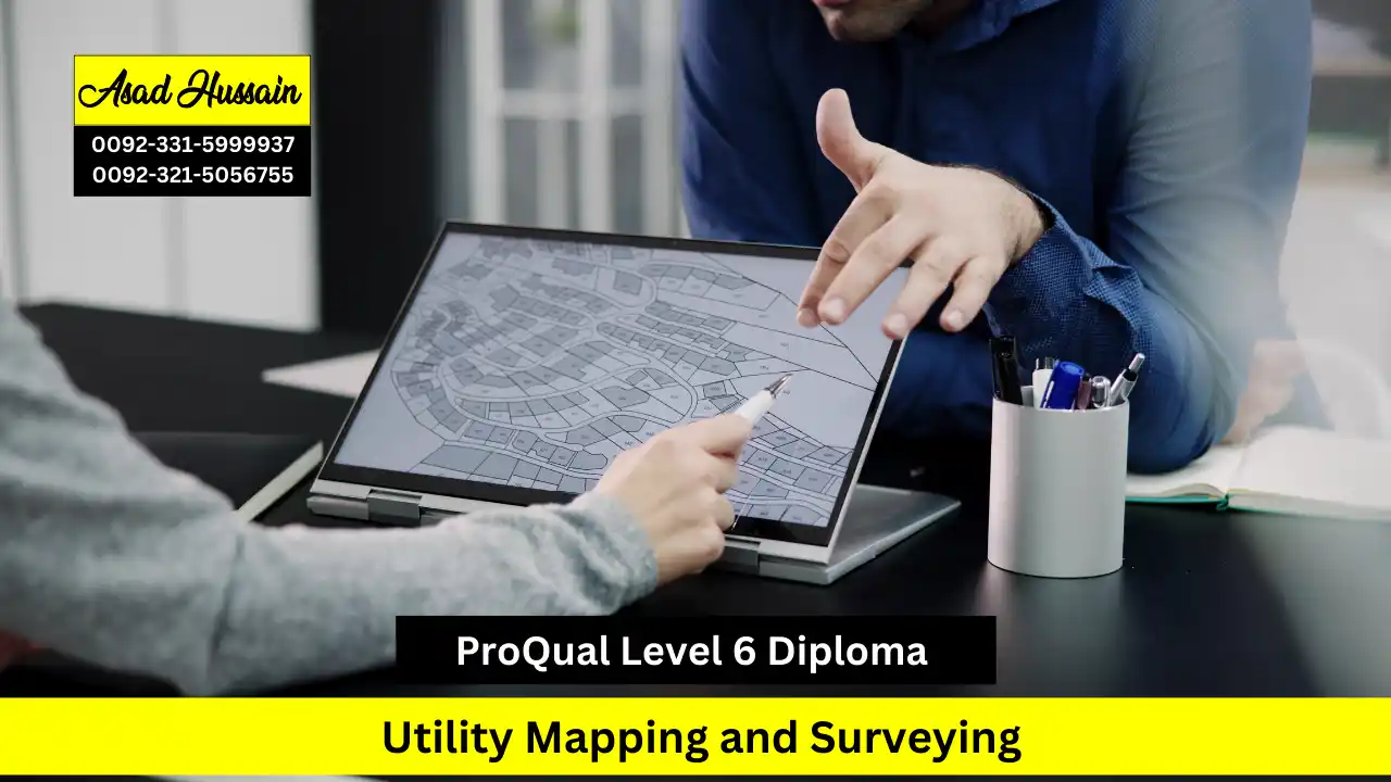
ProQual Level 6 Diploma in Utility Mapping and Surveying: A Comprehensive Qualification
The ProQual Level 6 Diploma in Utility Mapping and Surveying is a prestigious qualification designed for professionals seeking expertise in mapping underground utilities and conducting precise surveys. This diploma is tailored to enhance the competencies of individuals involved in geospatial data collection, ensuring accuracy and efficiency in infrastructure projects. It covers advanced surveying techniques, interpretation of utility records, and the use of modern geophysical methods to detect and map underground assets. By achieving this qualification, professionals demonstrate their ability to work in compliance with industry standards and best practices.
One of the key benefits of this diploma is its alignment with regulatory and professional standards within the utility mapping and surveying sector. The qualification is regulated by Ofqual (Office of Qualifications and Examinations Regulation), ensuring that it meets high educational and industry benchmarks. Ofqual’s oversight guarantees that the learning outcomes, assessment methods, and competency requirements are rigorously maintained, making the diploma widely recognized and respected across the industry. This regulation also ensures that the certification remains relevant to evolving technological advancements and regulatory frameworks.
The diploma is ideal for professionals working in sectors such as civil engineering, construction, and land surveying. It equips learners with the skills required to conduct accurate utility surveys, mitigate risks associated with underground infrastructure, and comply with health and safety regulations. The course typically includes modules on geospatial data management, survey instrumentation, electromagnetic location techniques, and ground-penetrating radar applications. These competencies are essential for professionals responsible for preventing utility strikes, optimizing project planning, and ensuring sustainable infrastructure development.
A major advantage of obtaining the ProQual Level 6 Diploma in Utility Mapping and Surveying is its contribution to career advancement. It is highly valued by employers, as it signifies a strong understanding of utility detection, surveying principles, and regulatory compliance. This qualification can lead to enhanced job opportunities, career progression into senior roles, and the potential to work on large-scale infrastructure projects. Additionally, it supports professional development by aligning with industry accreditation bodies, further validating an individual’s expertise.
In conclusion, the ProQual Level 6 Diploma in Utility Mapping and Surveying is a vital qualification for professionals seeking to excel in the field. Its regulatory backing by Ofqual ensures that it maintains high standards, making it a credible and valuable certification. With its comprehensive curriculum, industry relevance, and career benefits, this diploma serves as a crucial step for individuals aiming to enhance their knowledge, skills, and professional standing in the utility mapping and surveying industry.
Program Highlights
Study Units
- Agree project requirements and plan site surveying in geomatics and site surveying management
- Manage the analyses and presentation of site surveying information in geomatics and site surveying management
- Identify, assess and present spatial data in geomatics and site surveying management
- Vacuum excavations
- Identify hazards and control risks in geomatics and site surveying management
To enroll in the ProQual Level 6 Diploma in Utility Mapping and Surveying, candidates are typically required to meet certain educational and professional criteria. While specific entry requirements may vary depending on the training provider, the following are common prerequisites:
- Relevant Work Experience – Applicants should have prior experience in utility mapping, surveying, civil engineering, or a related field. This qualification is designed for professionals who already possess foundational knowledge and practical skills in surveying and geospatial data collection.
- Educational Background – Although there is no strict academic requirement, candidates with a Level 3 or Level 4 qualification in surveying, civil engineering, construction, or a related discipline are often preferred. Equivalent industry experience may also be considered.
- Technical Knowledge – A basic understanding of surveying techniques, mapping principles, and geospatial data interpretation is beneficial. Familiarity with tools such as ground-penetrating radar (GPR) and electromagnetic location (EML) devices can be advantageous.
- Health and Safety Awareness – As utility mapping involves working in potentially hazardous environments, a fundamental knowledge of health and safety regulations, particularly those relevant to construction and underground utilities, is often required.
- English Language Proficiency – Since assessments and coursework are conducted in English, candidates should have a good command of the language to ensure they can effectively complete assignments, reports, and examinations. Some providers may request evidence of English proficiency for non-native speakers.
Prospective learners should check with their chosen training provider for specific requirements and any additional prerequisites before applying.
Upon successful completion of the ProQual Level 6 Diploma in Utility Mapping and Surveying, participants will be able to:
- Demonstrate Advanced Knowledge of Utility Mapping Techniques: Understand and apply various surveying methods, including ground-penetrating radar (GPR), electromagnetic induction, and traditional surveying techniques, to effectively identify and locate utility infrastructure.
- Conduct Comprehensive Data Collection and Analysis: Utilize advanced tools and software for accurate data gathering, analysis, and interpretation in utility mapping projects, ensuring high-quality deliverables.
- Implement Project Management Skills: Plan, execute, and manage utility mapping projects, including budgeting, resource allocation, and risk management, to meet client specifications and timelines.
- Ensure Compliance with Regulatory Standards: Recognize and adhere to relevant industry regulations, safety standards, and ethical considerations, mitigating risks associated with utility mapping activities.
- Communicate Effectively with Stakeholders: Prepare and present clear, detailed reports and documentation for clients, contractors, and regulatory bodies, demonstrating professionalism and technical expertise.
- Apply Problem-Solving Skills: Analyze and resolve complex issues encountered during utility mapping projects, employing critical thinking and innovative approaches to overcome challenges.
- Work Collaboratively in Team Settings: Engage effectively with interdisciplinary teams, fostering collaboration and communication to achieve common project goals in utility mapping initiatives.
- Develop a Commitment to Continuous Professional Development: Recognize the importance of ongoing learning and professional growth in the field of utility mapping and surveying, staying updated with emerging technologies and best practices.
Who Is the ProQual Level 6 Diploma in Utility Mapping and Surveying For?
1. Experienced Surveying and Geospatial Professionals
This qualification is designed for professionals with experience in surveying, geospatial analysis, and utility mapping. It is ideal for those looking to enhance their expertise in detecting, mapping, and managing underground utilities using advanced technologies and industry best practices.
2. Civil Engineers and Construction Professionals
Engineers and construction specialists involved in infrastructure development and project planning will benefit from this diploma. It equips them with the skills to interpret utility records, conduct precise surveys, and mitigate risks associated with underground utilities.
3. Utility and Infrastructure Specialists
Individuals working in utility companies, local authorities, or infrastructure management roles can significantly benefit from this qualification. It enhances their ability to ensure regulatory compliance, optimize utility mapping processes, and contribute to safer excavation and construction practices.
4. Health and Safety Officers in Construction and Surveying
Professionals responsible for site safety and regulatory compliance in construction and surveying industries will find this diploma valuable. It provides essential knowledge on avoiding utility strikes, maintaining safety standards, and implementing risk management strategies.
5. Career Advancers and Industry Entrants
This course is suitable for individuals aiming for career progression into senior roles within the utility mapping and surveying sector. It also benefits those transitioning into the field from related disciplines such as land surveying, geographic information systems (GIS), or environmental planning.


